Advanced satellite data visualization.

The Earth is scanned daily by sophisticated satellites.
Orbiter shows you our planet as you've never seen it.
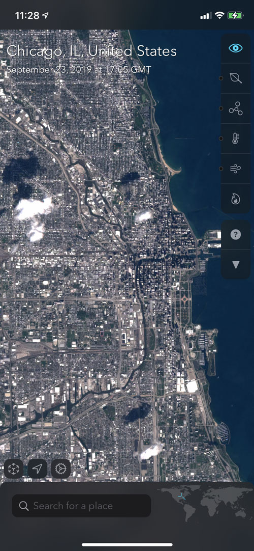
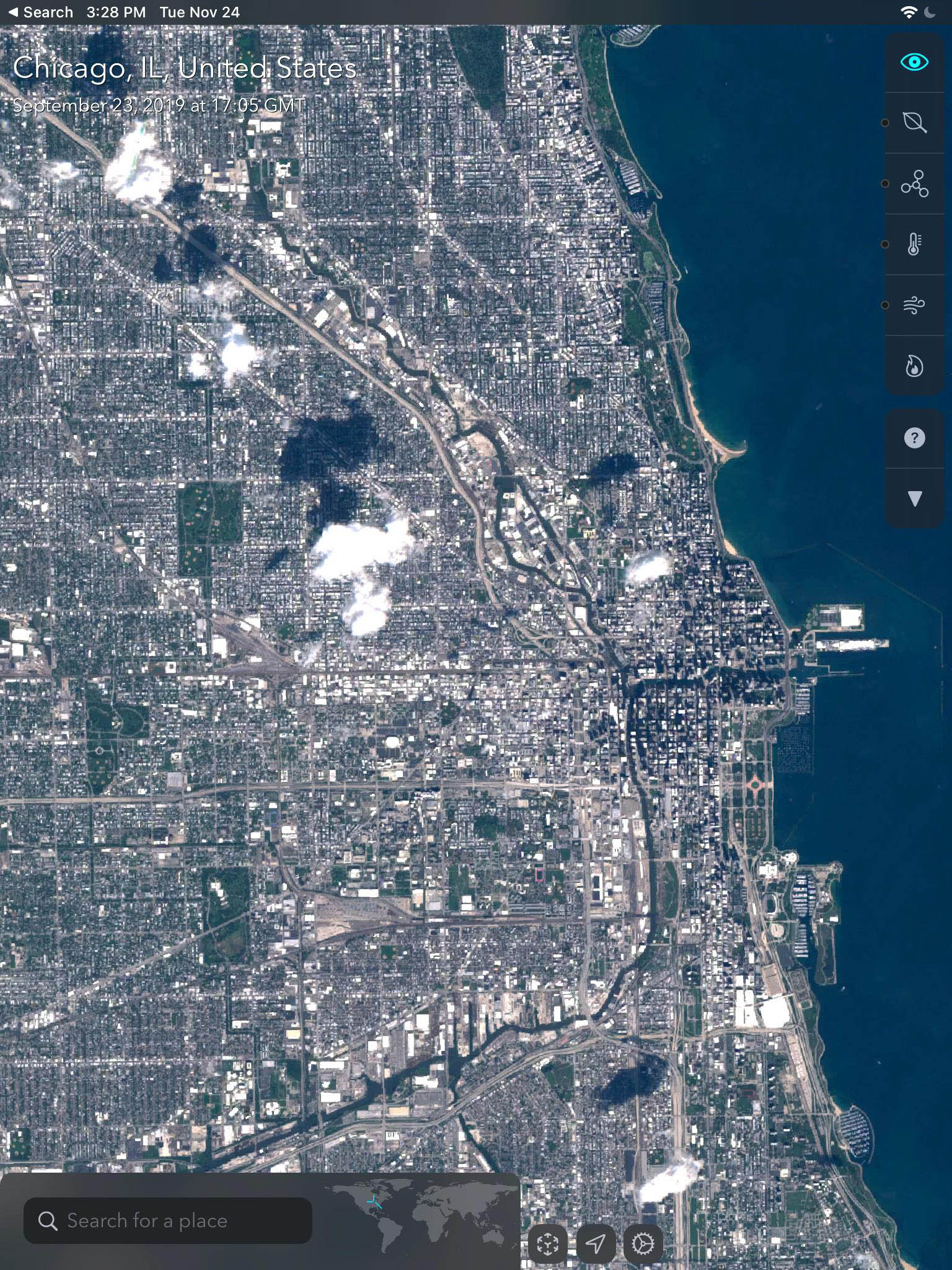
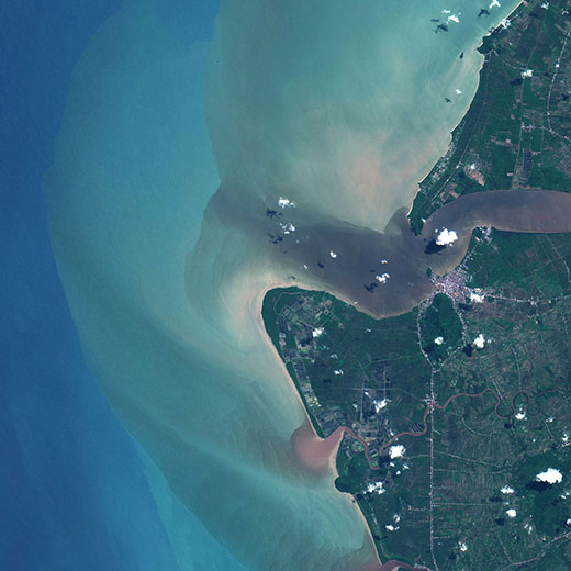
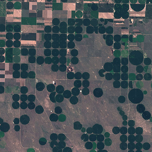
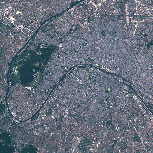
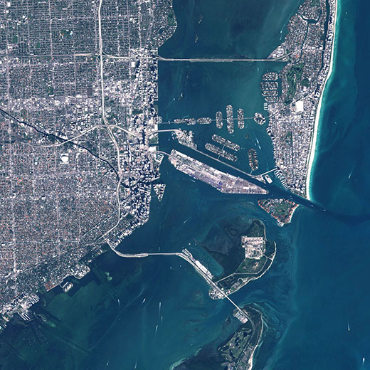
Raw photos from space
10 meter / pixel resolution
See recent satellite photos
Compare different times
Earth’s processes unfold
Satellite scans become visual
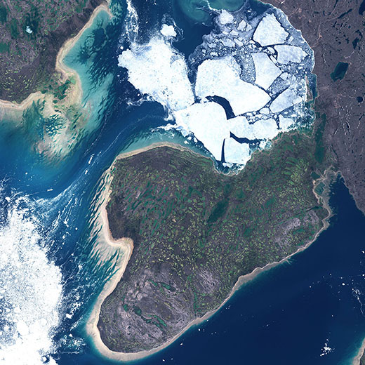
Watch sea ice melt and freeze
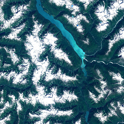
See vegetation change
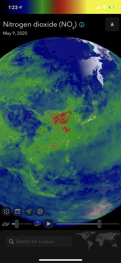
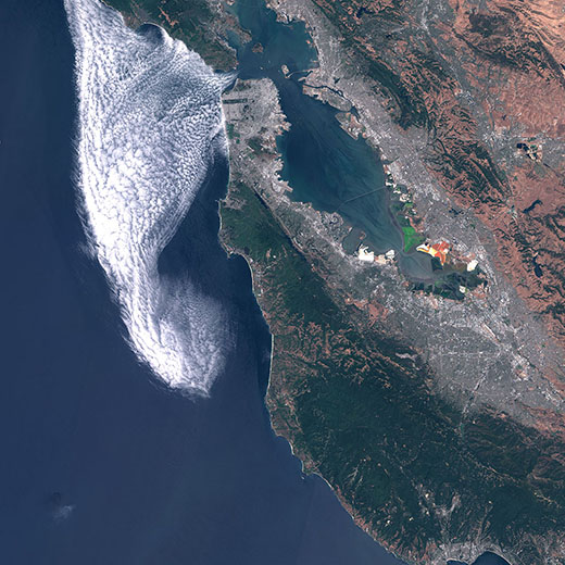
Visualize air pollution
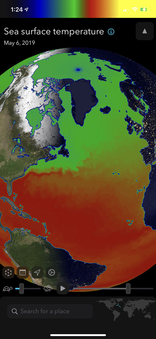
See ocean currents
18 different data views
Pollution monitoring
Ocean temperature and ice
Vegetation
Atmospheric scans
Weather scans and more

Orbiter Planetary Intelligence Engine is the brain behind Orbiter. This new server-side processing system allows for fast visualization and summary of Earth data. Pulling data straight from source space agencies, our distributed processing servers work on analyzing, extracting, reformatting, compressing and otherwise ingesting petabytes of raw data from Earth-orbiting spacecraft.

The U.S. and E.U. have spent billions capturing and recording data on planet Earth, but until now this data has been mostly confined to academic and professional researchers. Orbiter takes this wealth of data and puts it in your hand. Literally.
Orbiter’s fast and engrossing interface encourages discovery. Compare different times, and contrast human activity trends with visible earth data.